The Ultimate Road Cycling Challenge
A road cycling route starting from Vaugneray
Embark on a legendary road cycling adventure around Vaugneray, featuring challenging climbs and breathtaking views.
Map
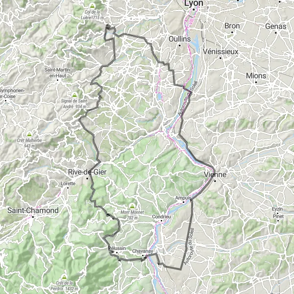
Experience the thrill of conquering challenging climbs on this epic road cycling route. With a daunting total ascent of 1720m and a distance of 131km, this challenge will push you to your limits. Prepare to tackle Brindas, Charly, Belvédère de Pipet, Vienne, Saint-Maurice-l'Exil, Pélussin, Col de Pavezin, Châteauneuf, Crêt du Bouchat, and Rontalon on your way to Vaugneray.
road
131 km
1720 m
Savage
Route profile
Highlights on the route
0 km
0 km
Start: Vaugneray Village centerVaugneray: Conquer the Legendary Climb of Monts du Lyonnais in Rhône-Alpes
Vaugneray is a commune in the Rhône-Alpes region of France that offers an engaging environment for road and gravel cyclists. The locality is renowned for being the starting point of the challenging Monts du Lyonnais climb, which attracts both professional and amateur cyclists. Vaugneray also features a mix of rolling hills and scenic country roads, creating a cyclist-friendly atmosphere for riders seeking a variety of terrain. The commune itself is quaint and picturesque, with charming architecture and historic sites to explore. With its well-known climb and scenic routes, Vaugneray is a must-visit destination for cyclists seeking challenging and rewarding rides.5 km
5 km
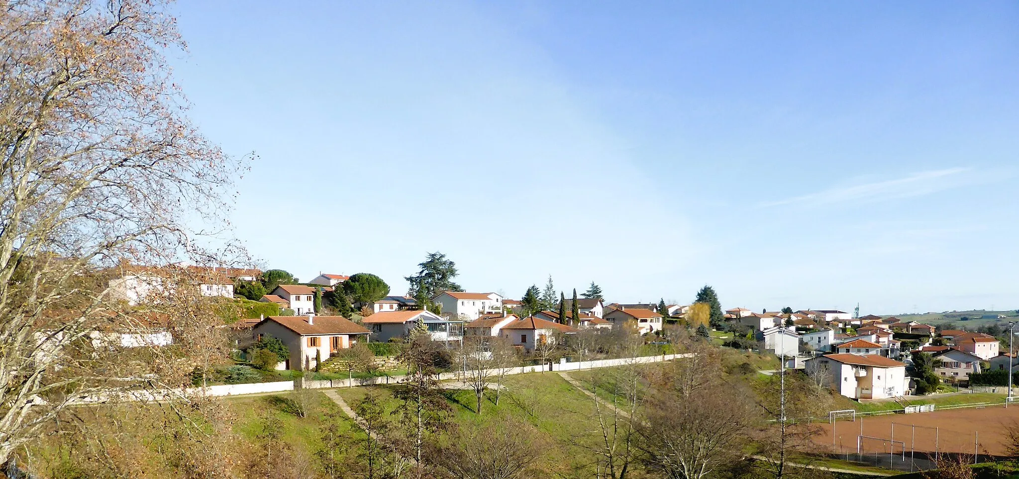
BrindasVillageBegin your journey from Brindas, a charming village surrounded by breathtaking landscapes.
19 km
19 km
CharlyVillageExplore the quaint village of Charly and its historical landmarks along the way.
39 km
39 km
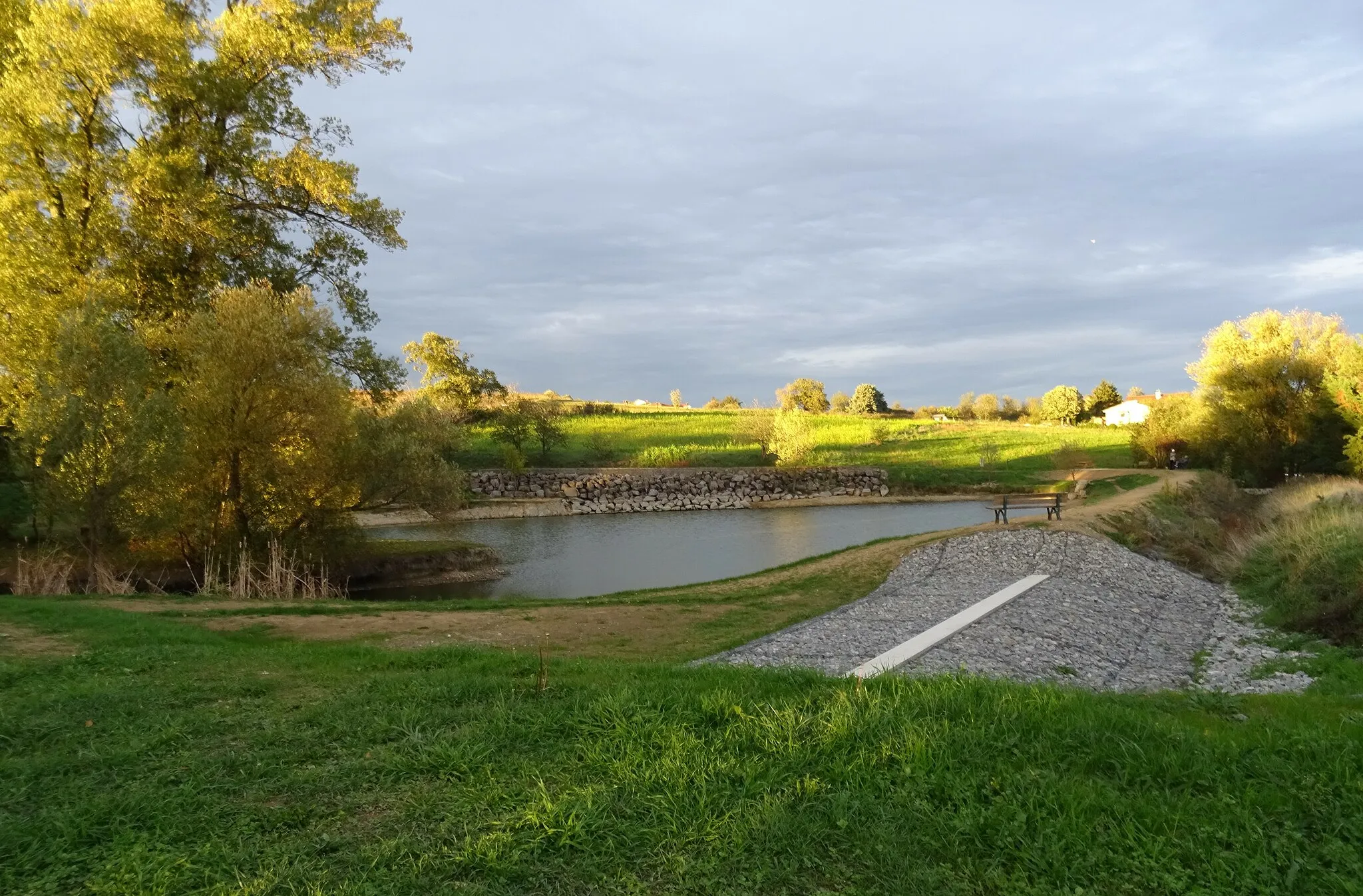
Belvédère de PipetViewpointTake in the stunning views from Belvédère de Pipet, a popular lookout point for cyclists.
39 km
39 km
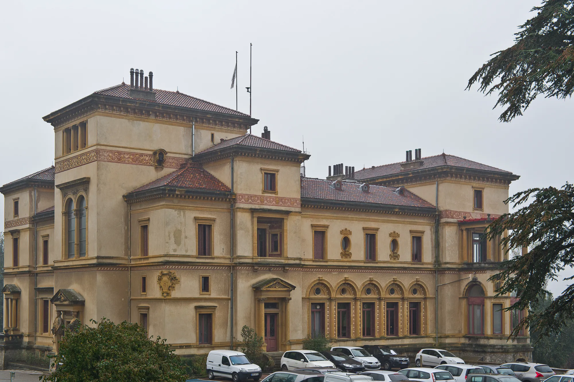
VienneTownVisit the vibrant city of Vienne, known for its rich history and Roman architecture.
59 km
59 km
Saint-Maurice-l'ExilVillageMarvel at the picturesque scenery of Saint-Maurice-l'Exil as you pass through.
73 km
73 km
PélussinVillageConquer the challenging ascent of Pélussin, a renowned climb among cyclists.
81 km
81 km
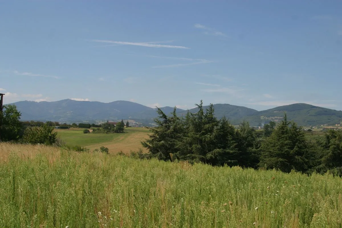
Col de Pavezin652 mMountain PassReach the summit of Col de Pavezin and enjoy the breathtaking panorama.
97 km
97 km
ChâteauneufVillageCycle through the captivating village of Châteauneuf and soak in the atmosphere.
114 km
114 km
Crêt du Bouchat586 mPeakChallenge yourself on the ascent of Crêt du Bouchat, a legendary climb in the region.
118 km
118 km
RontalonVillageRide through the charming village of Rontalon and discover its hidden gems.
131 km
131 km
Finish: Vaugneray Village centerVaugneray: Conquer the Legendary Climb of Monts du Lyonnais in Rhône-Alpes
Cycling routes from Vaugneray:
Gravel Discovery Roads Less Traveled Vaugneray Loop Road Cycling Route The Gravel Adventure Vaugneray Gravel Adventure Route The Ultimate Road Cycling Challenge Scenic Road Cycling Adventure in Northern Rhône Gravel Riding in Valleys and Hills of Southern Rhône Exploring the Countryside on Gravel Roads Cycling Adventure in Western Rhône Vaugneray to Col de la Luère Loop
Cycling routes nearby: