Gravel Riding in Valleys and Hills of Southern Rhône
A gravel cycling route starting from Vaugneray
Embark on a gravel adventure through the scenic valleys and challenging hills of Southern Rhône.
Map
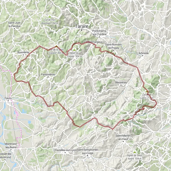
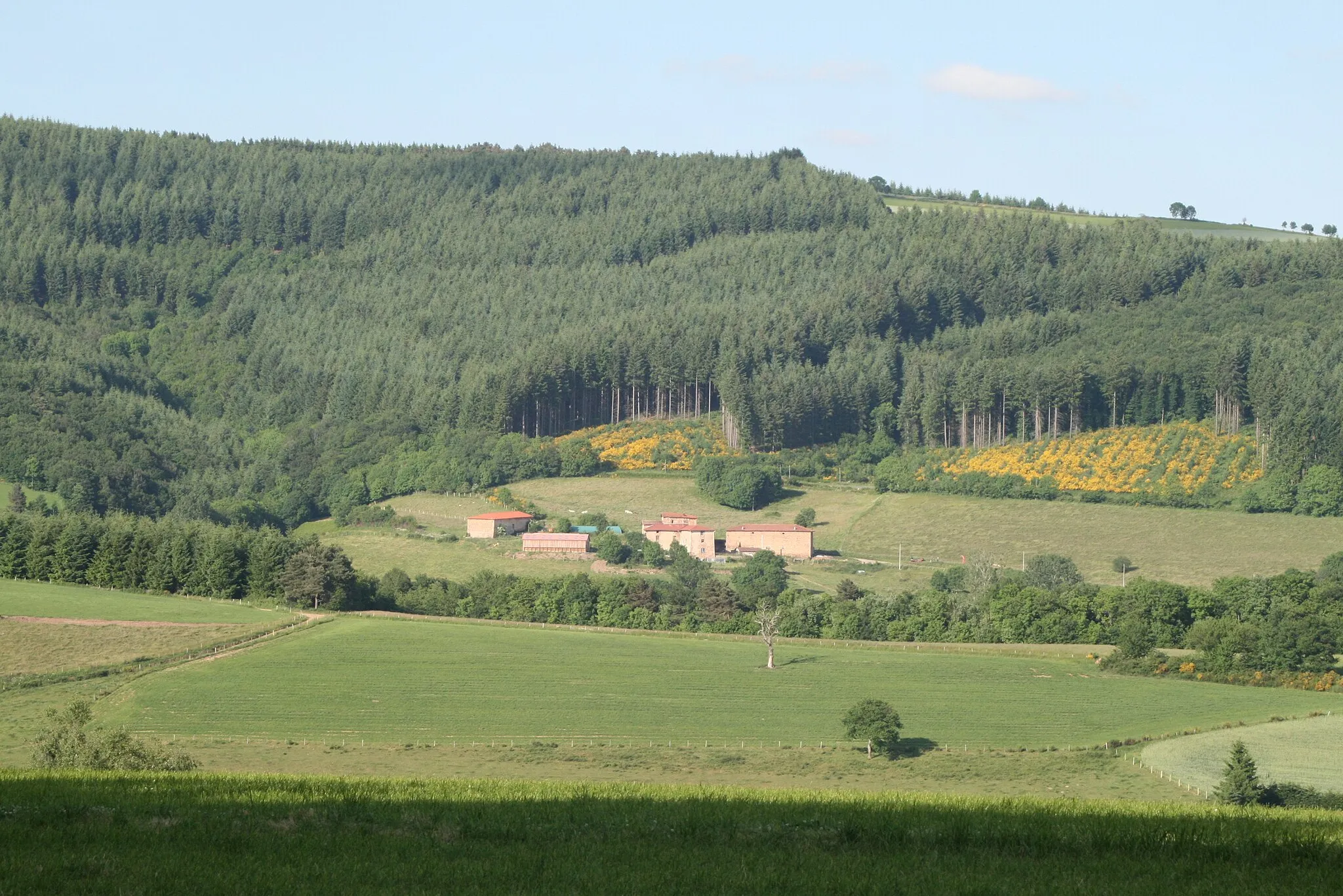
This 105-km gravel cycling route starting near Vaugneray offers a mix of rugged terrain, stunning natural landscapes, and charming villages. With an ascent of 2751 meters, it is recommended for experienced gravel riders. Highlights of this route include Col des Brosses, Duerne, Souzy, and Haute-Rivoire. Get ready for an exciting off-road journey that will take you through remote trails and hidden gems of Southern Rhône.
gravel
105 km
2751 m
Savage
Route profile
Highlights on the route
0 km
0 km
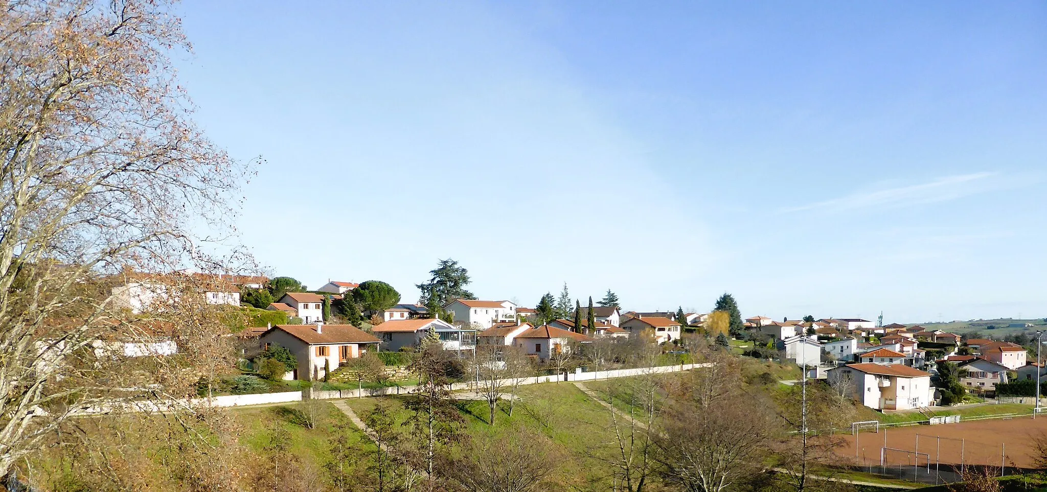
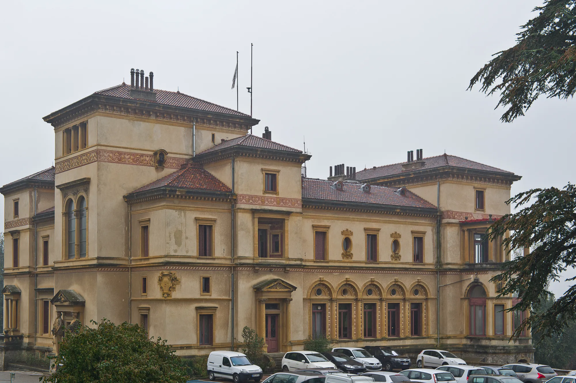
Start: Vaugneray Village centerVaugneray: Conquer the Legendary Climb of Monts du Lyonnais in Rhône-Alpes
Vaugneray is a commune in the Rhône-Alpes region of France that offers an engaging environment for road and gravel cyclists. The locality is renowned for being the starting point of the challenging Monts du Lyonnais climb, which attracts both professional and amateur cyclists. Vaugneray also features a mix of rolling hills and scenic country roads, creating a cyclist-friendly atmosphere for riders seeking a variety of terrain. The commune itself is quaint and picturesque, with charming architecture and historic sites to explore. With its well-known climb and scenic routes, Vaugneray is a must-visit destination for cyclists seeking challenging and rewarding rides.12 km
12 km
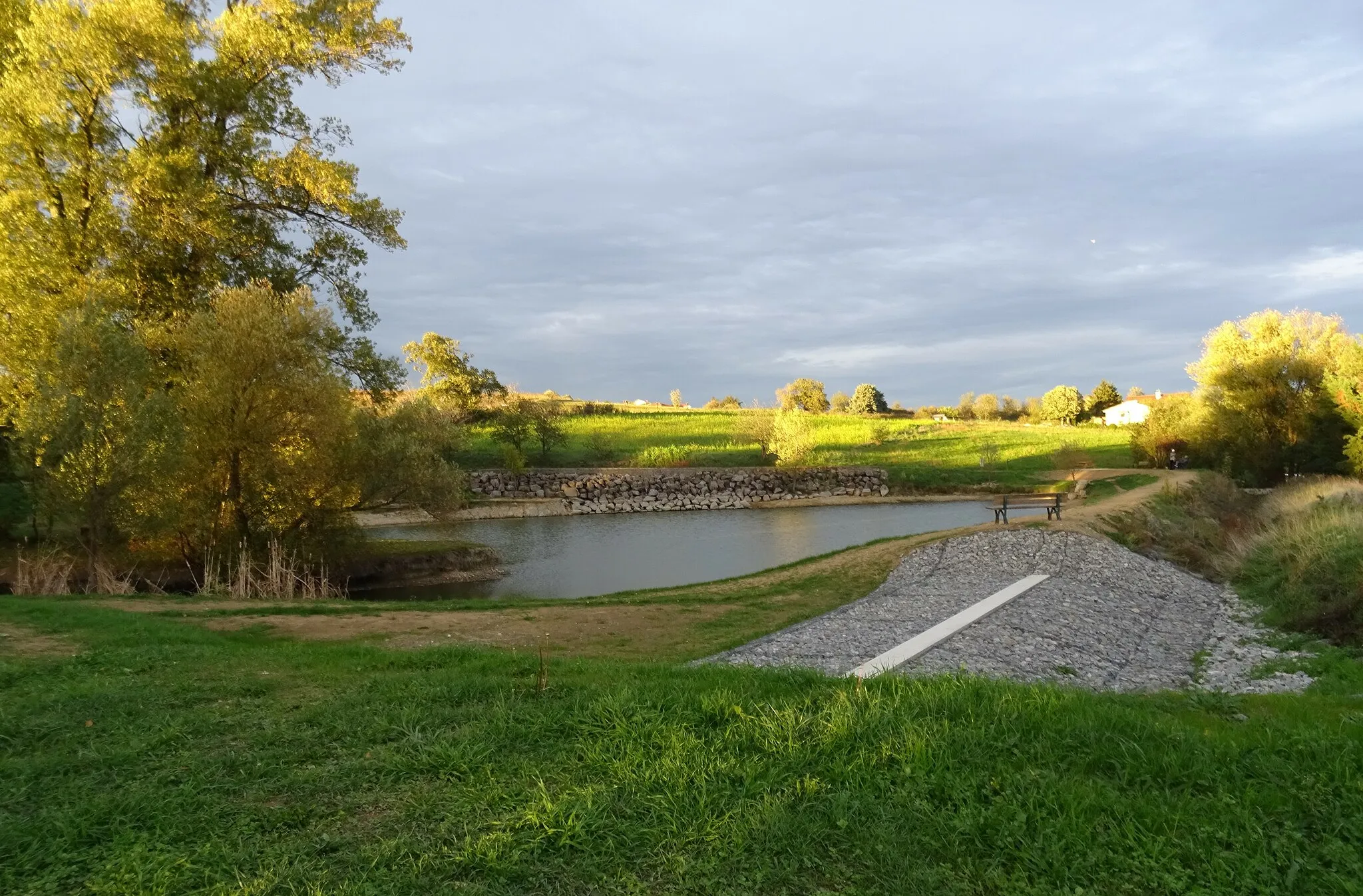
Col des Brosses867 mMountain PassCol des Brosses is a challenging climb with rewarding views over the surrounding valleys.
15 km
15 km
DuerneVillageDuerne is a picturesque village known for its traditional stone houses and scenic surroundings.
23 km
23 km
SouzyVillageIn Souzy, you can explore its charming streets and visit the centuries-old Souzy Castle.
30 km
30 km
Haute-RivoireVillageHaute-Rivoire offers a unique blend of natural beauty, history, and local gastronomy.
41 km
41 km
JasVillageJas is a small village with traditional Provençal architecture and a peaceful atmosphere.
51 km
51 km
Pouilly-lès-FeursVillagePouilly-lès-Feurs is surrounded by vineyards and offers stunning views over the rolling hills.
66 km
66 km
Col de la Croix Cazard865 mMountain PassCol de la Croix Cazard is a challenging gravel climb with breathtaking panoramic vistas.
75 km
75 km
Crêt Marmont746 mPeakCrêt Marmont provides stunning views over the mountains and surrounding countryside.
86 km
86 km
Saint-Romain-de-PopeyVillageSaint-Romain-de-Popey is a quiet village with preserved heritage and peaceful landscapes.
96 km
96 km
Saint-Pierre-la-PaludVillageSaint-Pierre-la-Palud offers opportunities for outdoor activities and exploration of its natural surroundings.
100 km
100 km
Col de la Luère715 mMountain PassCol de la Luère is a challenging climb with rewarding views over the Rhône Valley.
105 km
105 km
Finish: Vaugneray Village centerVaugneray: Conquer the Legendary Climb of Monts du Lyonnais in Rhône-Alpes
Cycling routes from Vaugneray:
Gravel Discovery Roads Less Traveled Vaugneray Loop Road Cycling Route The Gravel Adventure Vaugneray Gravel Adventure Route The Ultimate Road Cycling Challenge Scenic Road Cycling Adventure in Northern Rhône Gravel Riding in Valleys and Hills of Southern Rhône Exploring the Countryside on Gravel Roads Cycling Adventure in Western Rhône Vaugneray to Col de la Luère Loop
Cycling routes nearby: