Exploring the Gravel Paths
A gravel cycling route starting from Mauth
Embark on a thrilling gravel adventure in the Bavarian Forest
Map

Exploring the Gravel Paths is a thrilling gravel cycling route that takes you through the rugged terrain of the Bavarian Forest. With a total ascent of 2460 meters and a distance of 118 kilometers, this route offers a challenging and adventurous ride. Starting near Mauth, the route highlights include Teufelsbachklause, Nad Bučinou, Polecký vrch, Kubova Huť, Buk, Široký, Volovický vrch, Libínské Sedlo, Volary, Žlebský vrch, Philippsreut, Schwarzkopf, and Mauth. These highlights offer thrilling descents, off-road adventures, and picturesque landscapes. Exploring the Gravel Paths is perfect for experienced cyclists seeking an adrenaline-packed cycling experience in the heart of the Bavarian Forest.
gravel
118 km
2460 m
Savage
Route profile
Highlights on the route
0 km
0 km
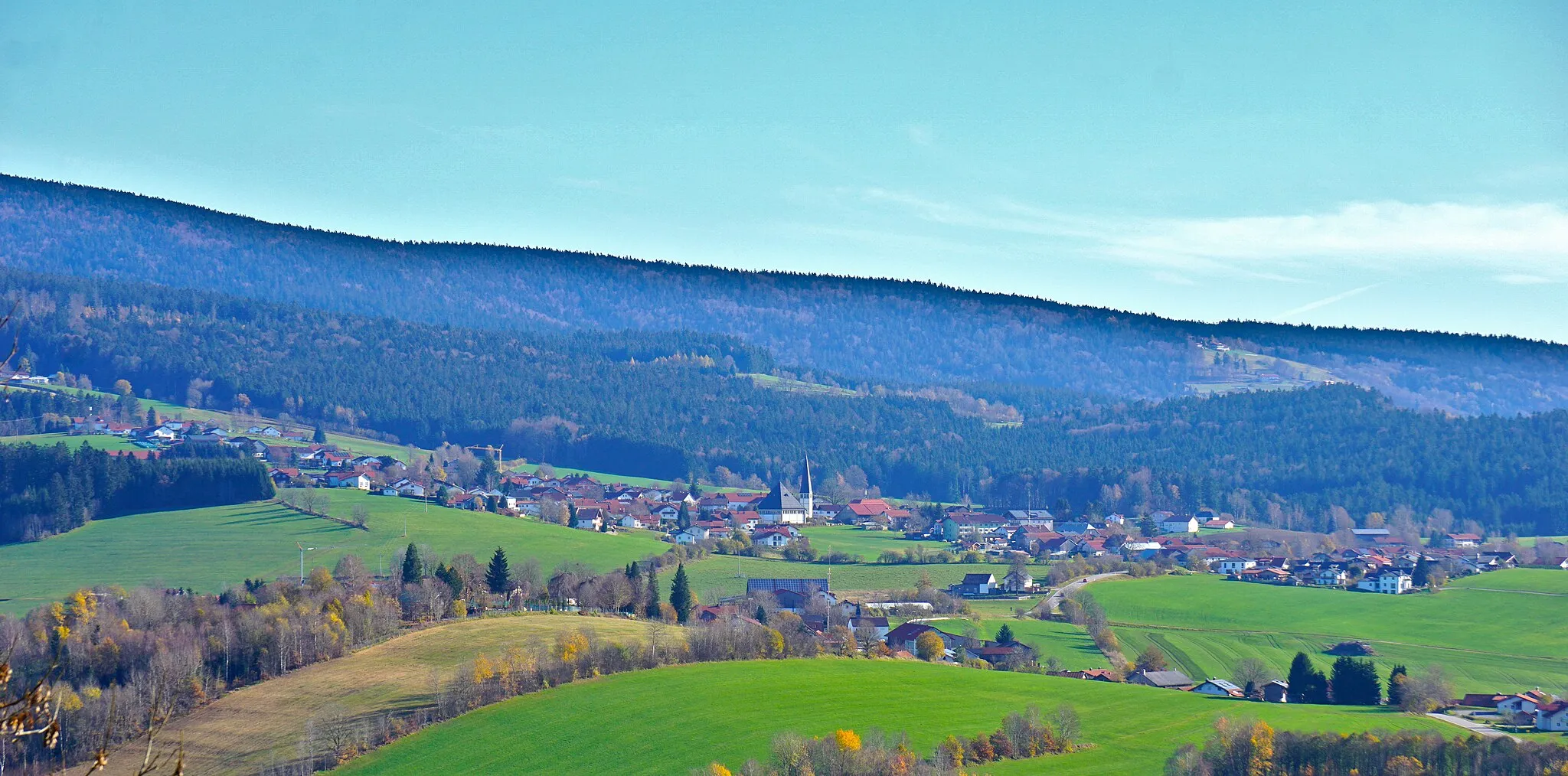
Start: Mauth Village centerMauth: Cycling through Bavarian landscapes and exploring the Bavarian Forest National Park.
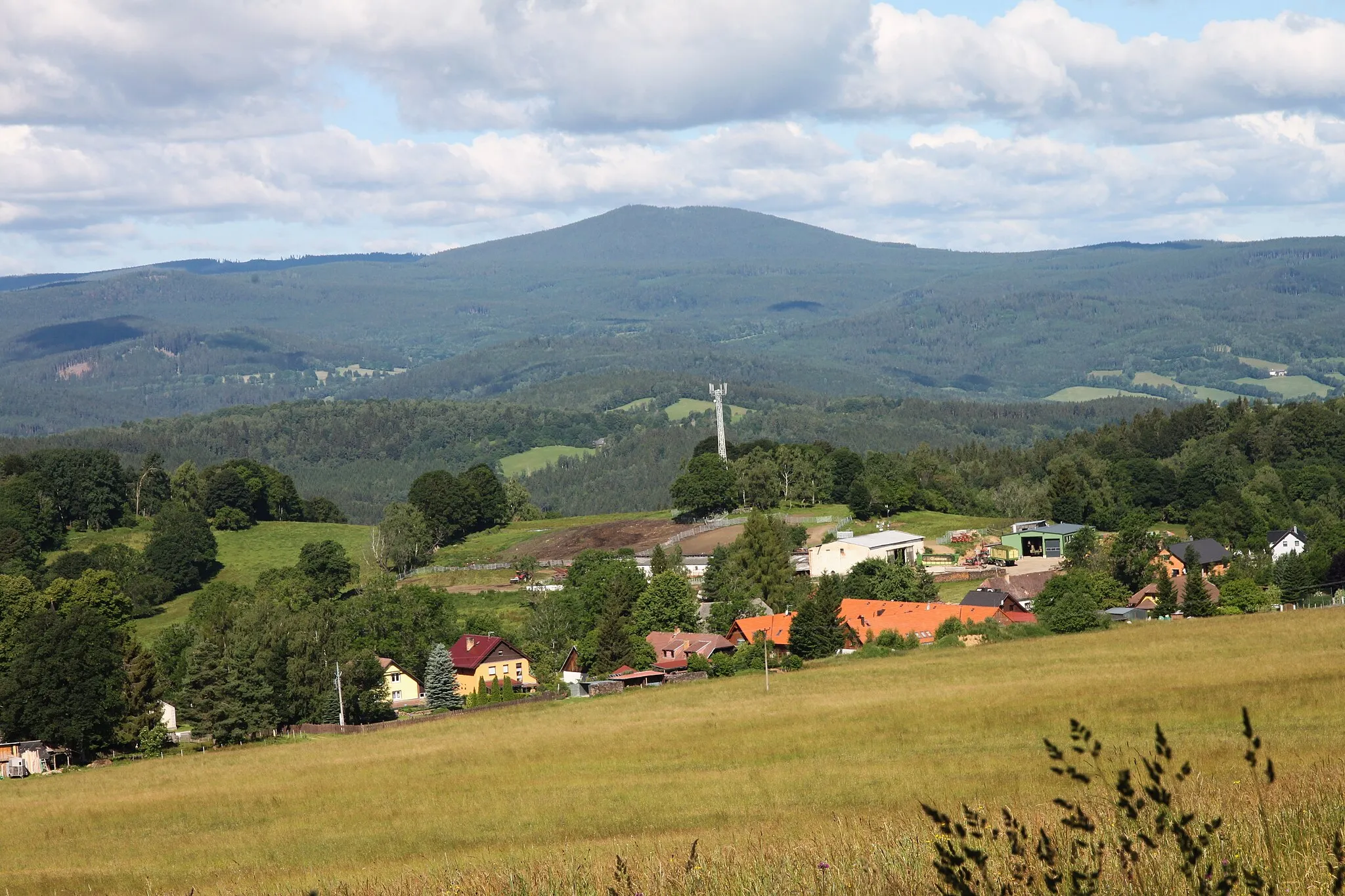
Mauth, located in Niederbayern, Germany, is a cyclist's paradise with diverse terrain and picturesque landscapes. The region offers a mix of flat stretches and hilly routes, catering to both leisure riders and more advanced cyclists. Mauth is also situated near the famous Bavarian Forest National Park, providing scenic trails and stunning views for off-road enthusiasts. Additionally, cyclists can enjoy the sensation of riding through charming Bavarian towns and experiencing traditional local culture. Overall, Mauth is an excellent destination for road and gravel cyclists looking to immerse themselves in natural beauty and authentic German scenery.13 km
13 km
TeufelsbachklauseShelterTeufelsbachklause is an impressive dam surrounded by dense forests, offering a peaceful and scenic resting spot.
14 km
14 km
Nad Bučinou1219 mPeakNad Bučinou is a hill with panoramic views of the Bavarian Forest and a challenging off-road trail.
21 km
21 km
Polecký vrch1120 mPeakPolecký vrch is a remote hill with wildflowers and rugged trails, providing a sense of isolation and adventure.
37 km
37 km
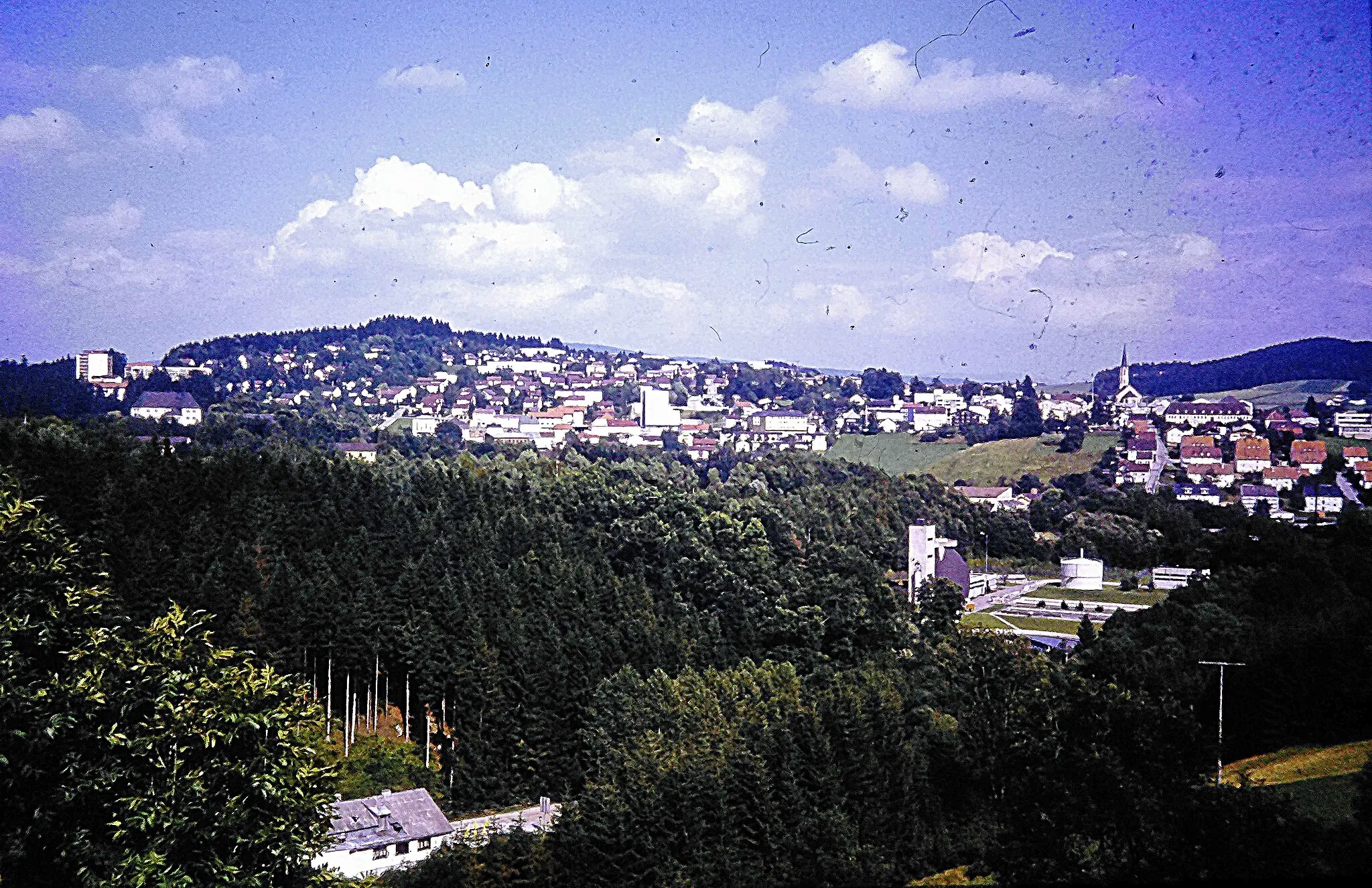
Kubova HuťVillageKubova Huť is a traditional Czech mountain community with an open-air museum showcasing regional history and culture.
46 km
46 km
BukVillageBuk is a small village with traditional Czech architecture and stunning views of the countryside.
57 km
57 km
Široký650 mPeakŠiroký is a rocky plateau surrounded by forested mountains, perfect for off-road cycling exploration.
69 km
69 km
Volovický vrch952 mPeakVolovický vrch is a rugged peak with breathtaking views of the Bavarian Forest, offering a challenging uphill climb.
71 km
71 km
Libínské SedloVillageLibínské Sedlo is a popular spot for downhill mountain biking with thrilling descents and jumps.
84 km
84 km
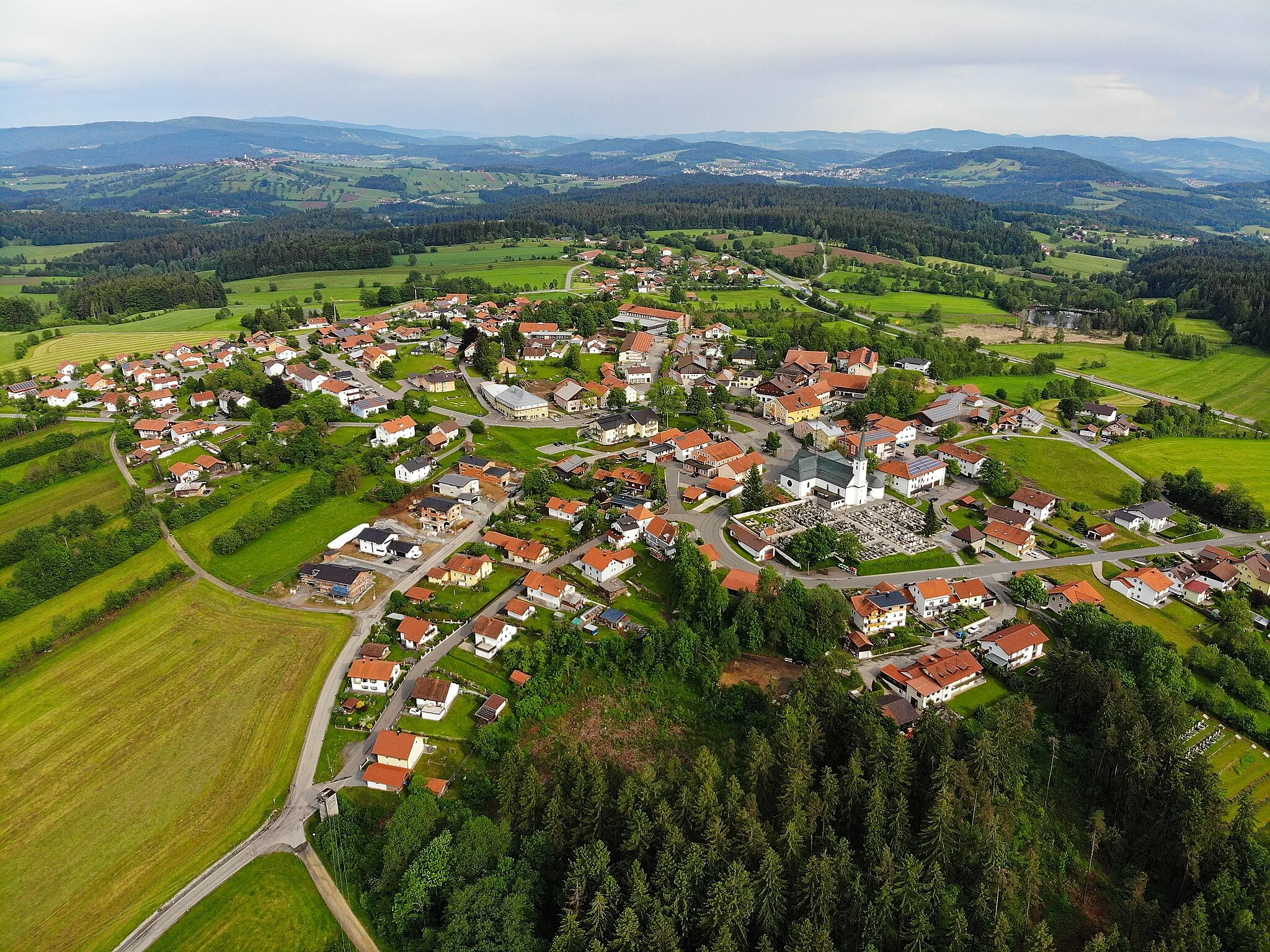
VolaryTownVolary is a historic town with charming architecture, cozy cafes, and a welcoming atmosphere for cyclists.
96 km
96 km
Žlebský vrch1080 mPeakŽlebský vrch is a hill with panoramic views of the surrounding landscapes and cycling trails for exploration.
107 km
107 km
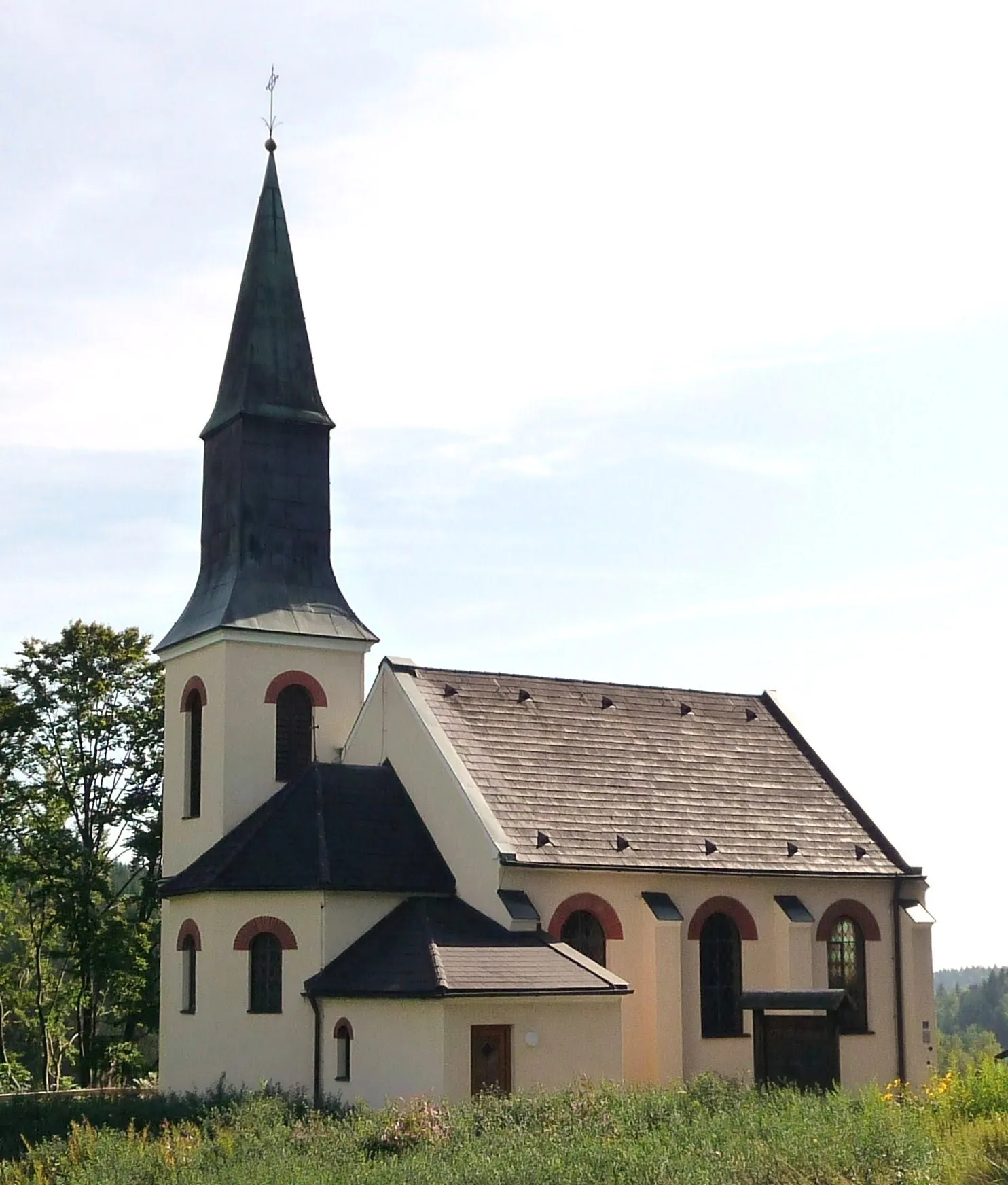
PhilippsreutVillagePhilippsreut is a small village located on the Czech border with beautiful traditional architecture.
109 km
109 km
Schwarzkopf1060 mPeakSchwarzkopf is a mountain known for its challenging off-road trails and stunning panoramic views.
119 km
119 km
MauthVillageMauth is the starting point of the route and offers access to various cycling trails and outdoor activities.
118 km
118 km
Finish: Mauth Village centerMauth: Cycling through Bavarian landscapes and exploring the Bavarian Forest National Park.
Cycling routes nearby: