Bohemian Border Exploration
A road cycling route starting from Mauth
Discover the picturesque Bohemian border on this challenging road cycling route
Map
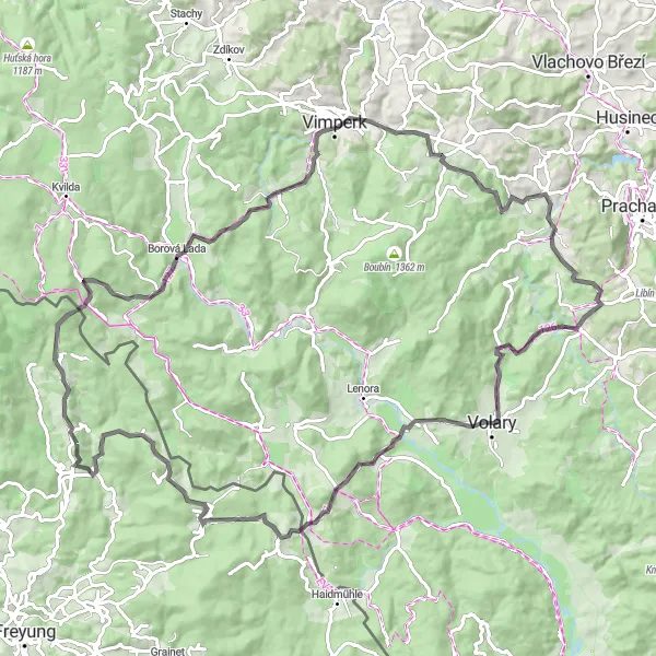
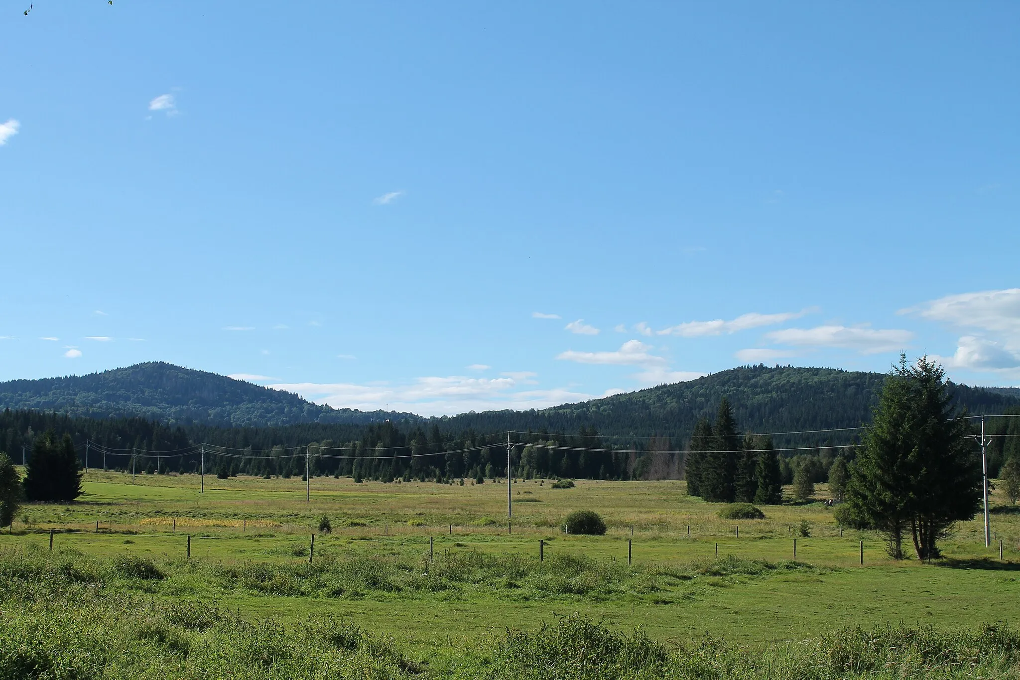
The Bohemian Border Exploration is a challenging road cycling route that takes you through the beautiful Bohemian border region. With a total ascent of 2139 meters and a distance of 99 kilometers, this route offers a mix of climbs and breathtaking descents. Starting near Mauth, the route highlights include Siebensteinkopf, Borová Lada, Homolka, Buk, Kratušín, Vysoký les, České Žleby, Žlebský vrch, Almberg, and Mauth. These highlights offer stunning views of the Czech countryside, charming villages, and a diverse range of landscapes. The Bohemian Border Exploration is perfect for cyclists looking for a challenging ride and the opportunity to explore the natural beauty of the Bohemian border.
road
99 km
2139 m
Savage
Route profile
Highlights on the route
0 km
0 km
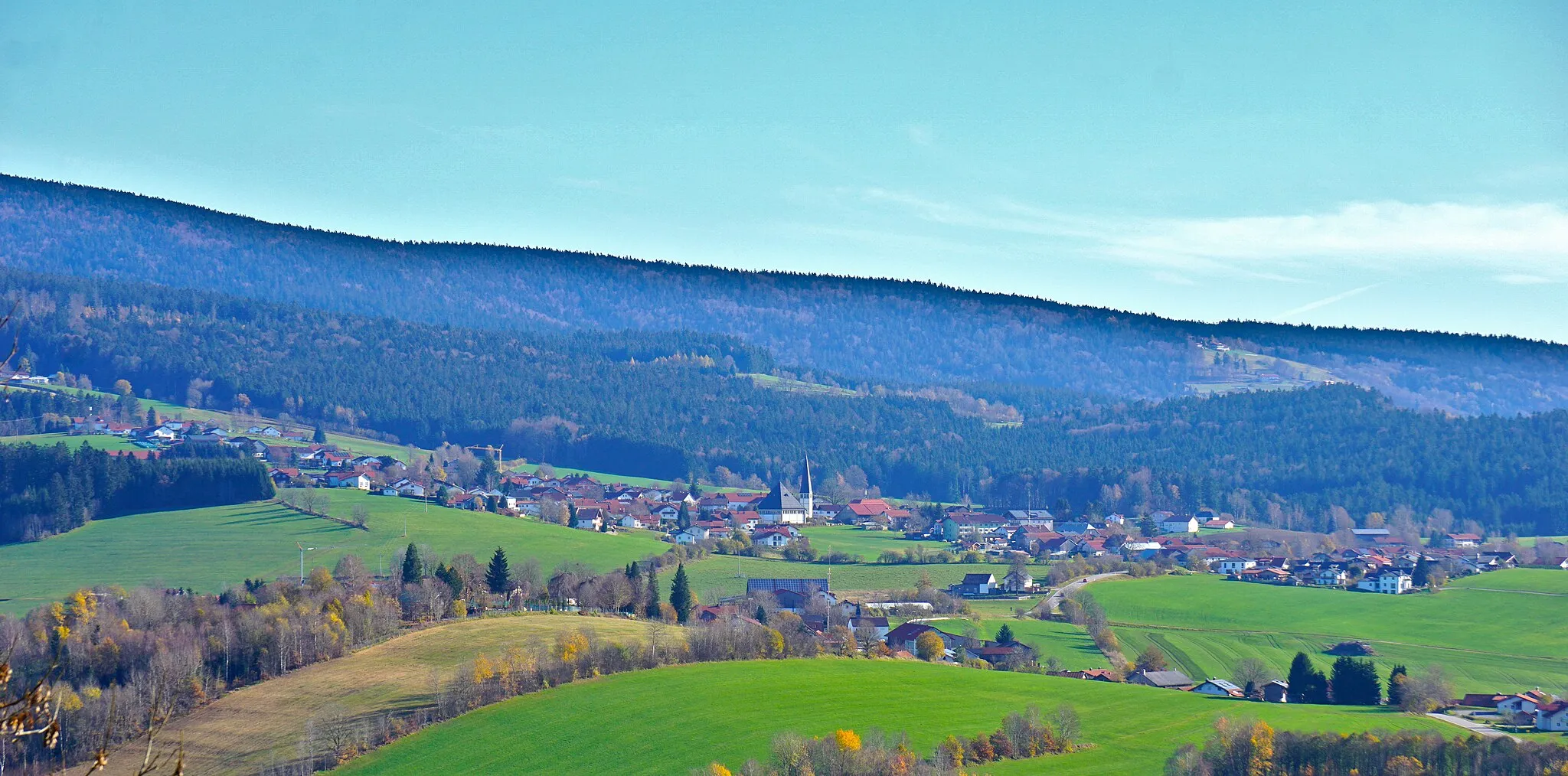
Start: Zwölfhäuser Village centerMauth: Cycling through Bavarian landscapes and exploring the Bavarian Forest National Park.
Mauth, located in Niederbayern, Germany, is a cyclist's paradise with diverse terrain and picturesque landscapes. The region offers a mix of flat stretches and hilly routes, catering to both leisure riders and more advanced cyclists. Mauth is also situated near the famous Bavarian Forest National Park, providing scenic trails and stunning views for off-road enthusiasts. Additionally, cyclists can enjoy the sensation of riding through charming Bavarian towns and experiencing traditional local culture. Overall, Mauth is an excellent destination for road and gravel cyclists looking to immerse themselves in natural beauty and authentic German scenery.7 km
7 km
Siebensteinkopf1263 mPeakSiebensteinkopf is a mountain known for its rocky terrain and beautiful views of the surrounding landscape.
17 km
17 km
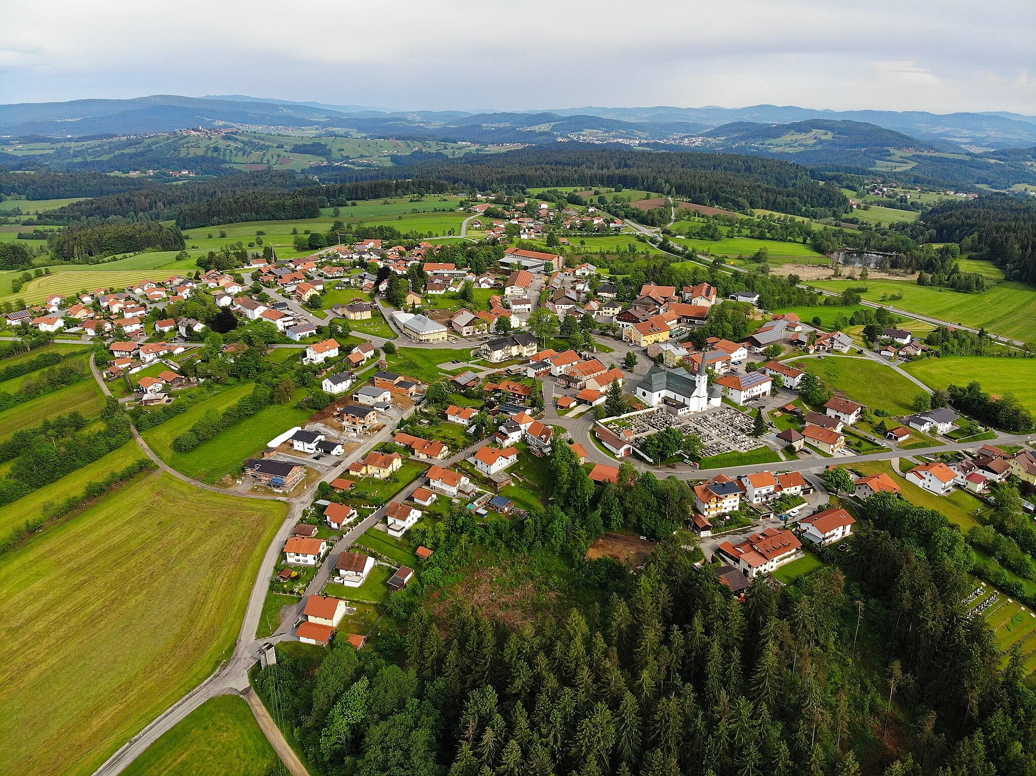
Borová LadaVillageBorová Lada is a charming village located in the Šumava National Park with traditional wooden houses.
31 km
31 km
Homolka751 mPeakHomolka is a hill with beautiful meadows and forests, providing a serene cycling experience.
36 km
36 km
BukVillageBuk is a small village with traditional Czech architecture and stunning views of the countryside.
45 km
45 km
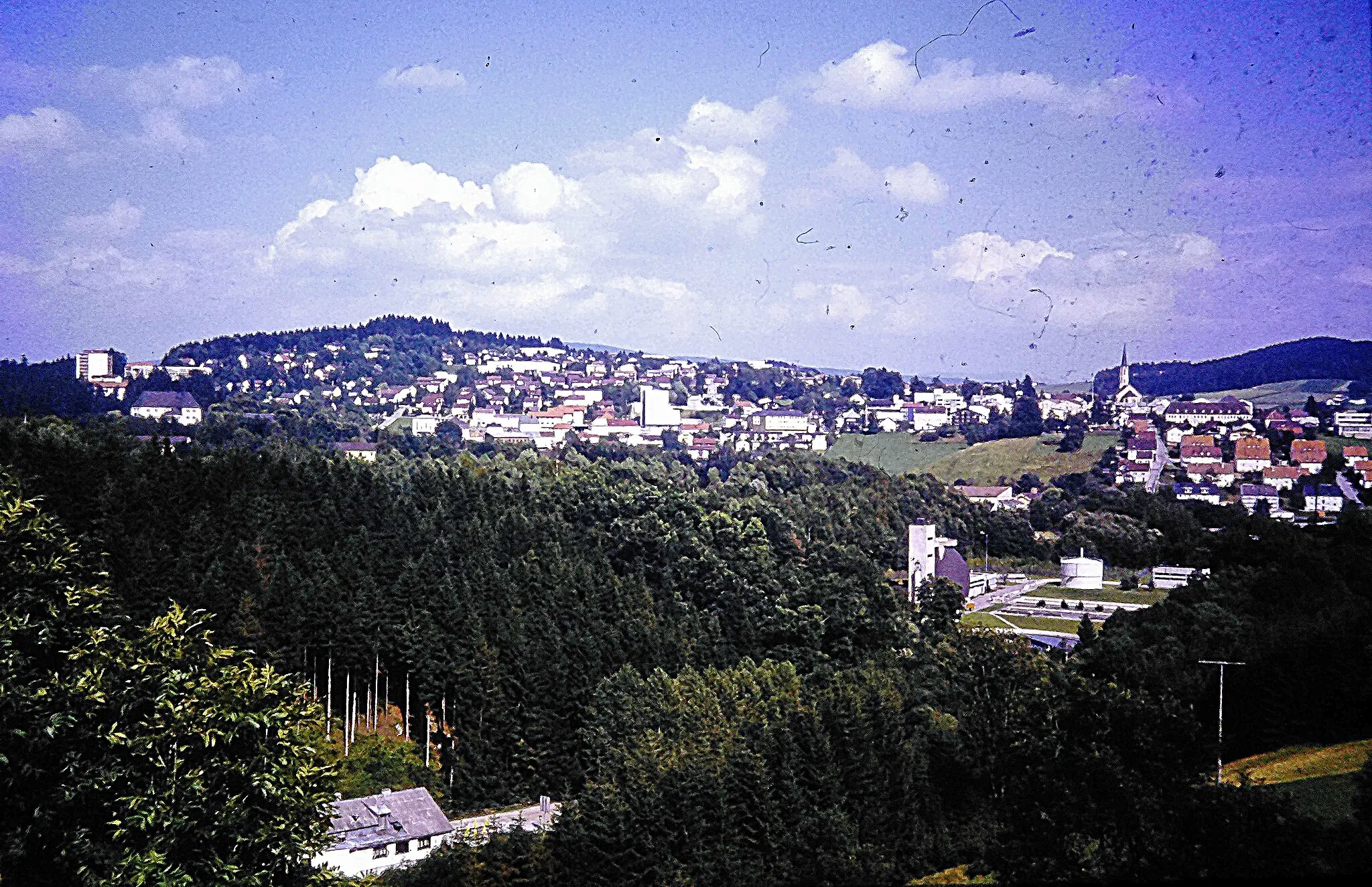
KratušínVillageKratušín is a historic town with picturesque streets and a castle dating back to the 13th century.
58 km
58 km
Vysoký les942 mPeakVysoký les is a remote forested area with untouched natural beauty and peaceful cycling paths.
75 km
75 km
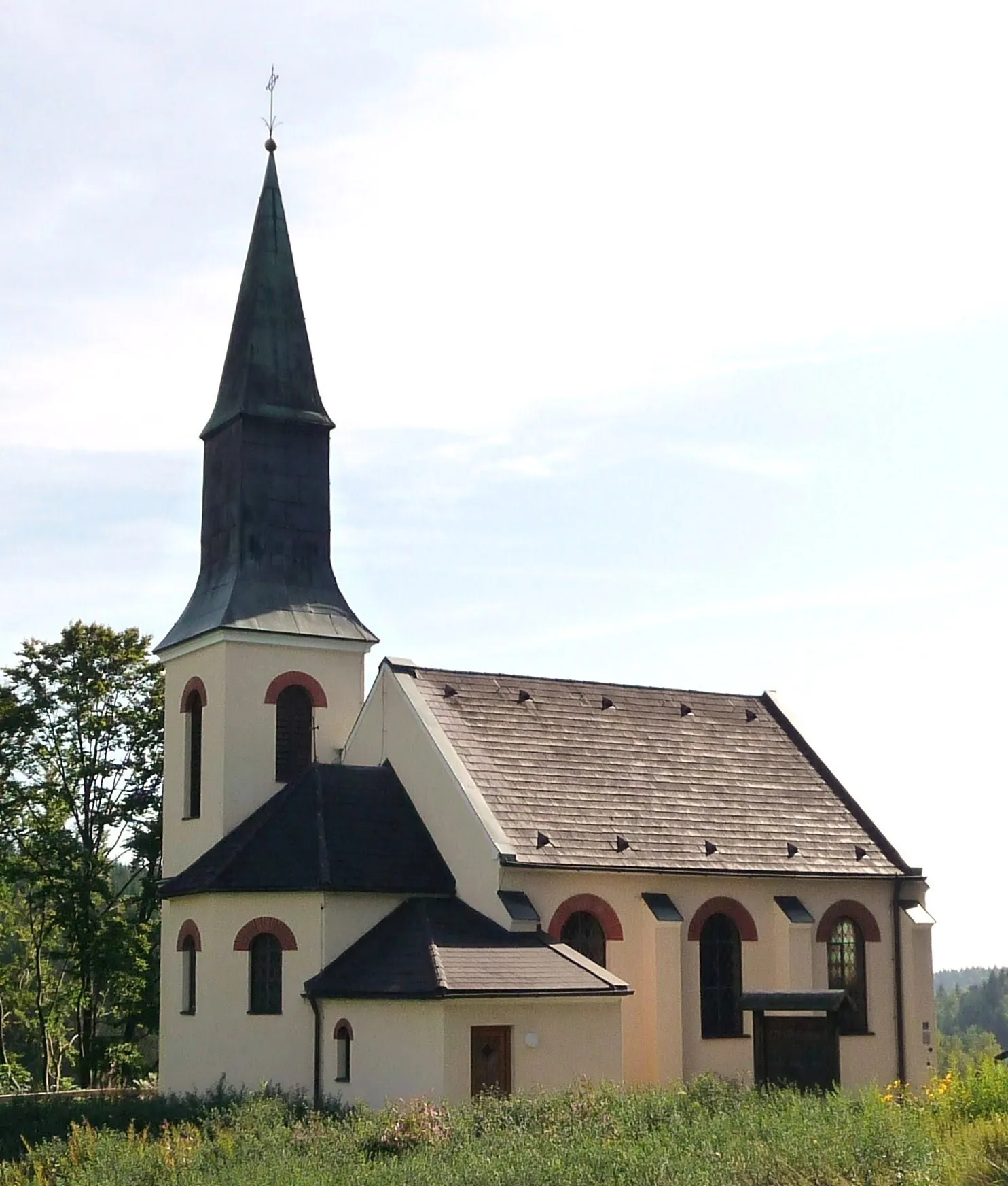
České ŽlebyVillageČeské Žleby is a small village off the beaten path, offering a tranquil and scenic cycling route.
75 km
75 km
Žlebský vrch1080 mPeakŽlebský vrch is a hill with panoramic views of the surrounding landscapes and cycling trails for exploration.
90 km
90 km
Almberg1139 mPeakAlmberg is the highest peak in the Bavarian Forest and offers panoramic views of the surrounding area.
97 km
97 km
MauthVillageMauth is the starting point of the route and offers access to various cycling trails and outdoor activities.
99 km
99 km
Finish: Zwölfhäuser Village centerMauth: Cycling through Bavarian landscapes and exploring the Bavarian Forest National Park.
Cycling routes nearby: