Bavarian Forest Challenge
A road cycling route starting from Mauth
Embark on a challenging road cycling adventure through the Bavarian Forest
Map
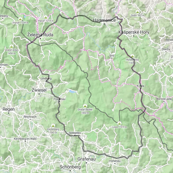
Indulge in a thrilling road cycling adventure starting from Mauth and covering a distance of 128 kilometers. With a total ascent of 2,461 meters, this route is designed for experienced cyclists seeking a challenge. Highlights along this epic route include Marien-Höhe, Frauenau, Pepík, and Horská Kvilda. Brace yourself for epic climbs, winding roads, and breathtaking views of the Bavarian Forest. This route is rated with a difficulty level of 5 and an epicness level of 4, promising an unforgettable cycling experience in the heart of Bavaria.
road
128 km
2461 m
Savage
Route profile
Highlights on the route
0 km
0 km
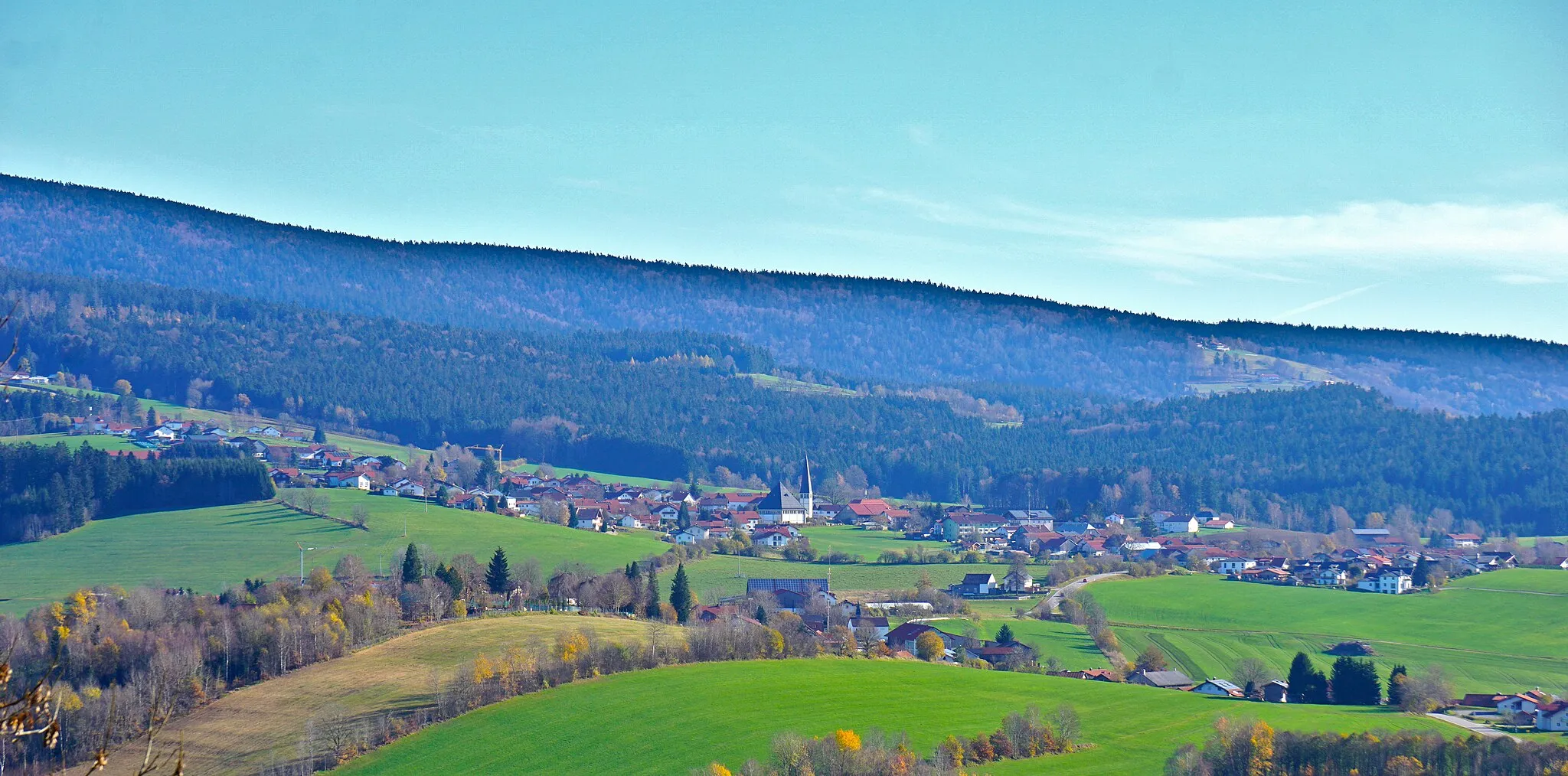
Start: Mauth Village centerMauth: Cycling through Bavarian landscapes and exploring the Bavarian Forest National Park.
Mauth, located in Niederbayern, Germany, is a cyclist's paradise with diverse terrain and picturesque landscapes. The region offers a mix of flat stretches and hilly routes, catering to both leisure riders and more advanced cyclists. Mauth is also situated near the famous Bavarian Forest National Park, providing scenic trails and stunning views for off-road enthusiasts. Additionally, cyclists can enjoy the sensation of riding through charming Bavarian towns and experiencing traditional local culture. Overall, Mauth is an excellent destination for road and gravel cyclists looking to immerse themselves in natural beauty and authentic German scenery.0 km
0 km
MauthVillageMauth, the starting point of this route, offers a gateway to the scenic beauty of the Bavarian Forest.
22 km
22 km
Marien-HöheViewpointMarien-Höhe stands tall among the surrounding landscapes, providing panoramic views of the Bavarian Forest.
36 km
36 km
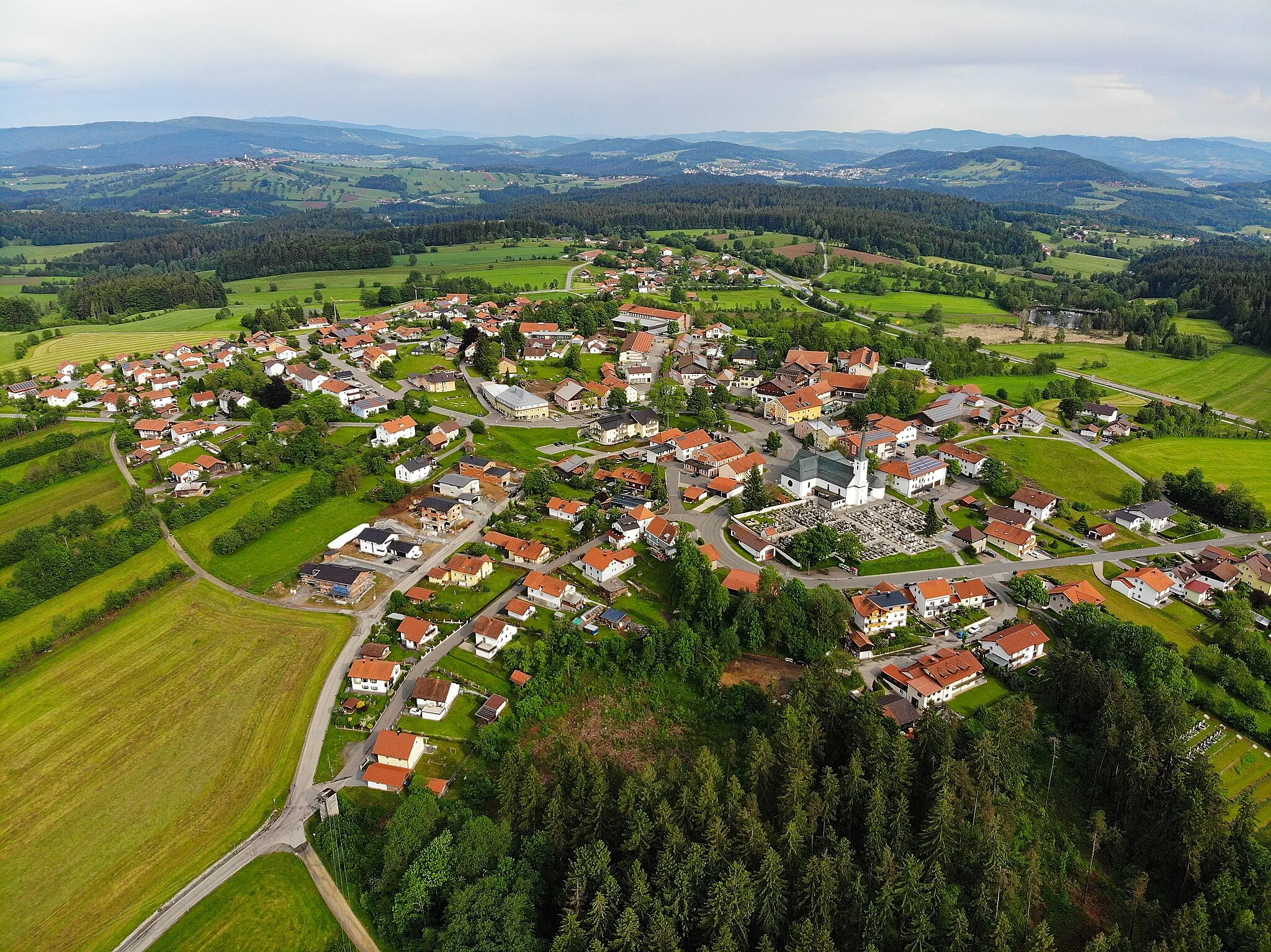
FrauenauVillageFrauenau is a charming town in the heart of the Bavarian Forest, known for its traditional architecture and peaceful atmosphere.
44 km
44 km
LindbergVillageLindberg is a idyllic village nestled in the Bavarian Forest, surrounded by beautiful hiking trails and stunning natural landscapes.
60 km
60 km
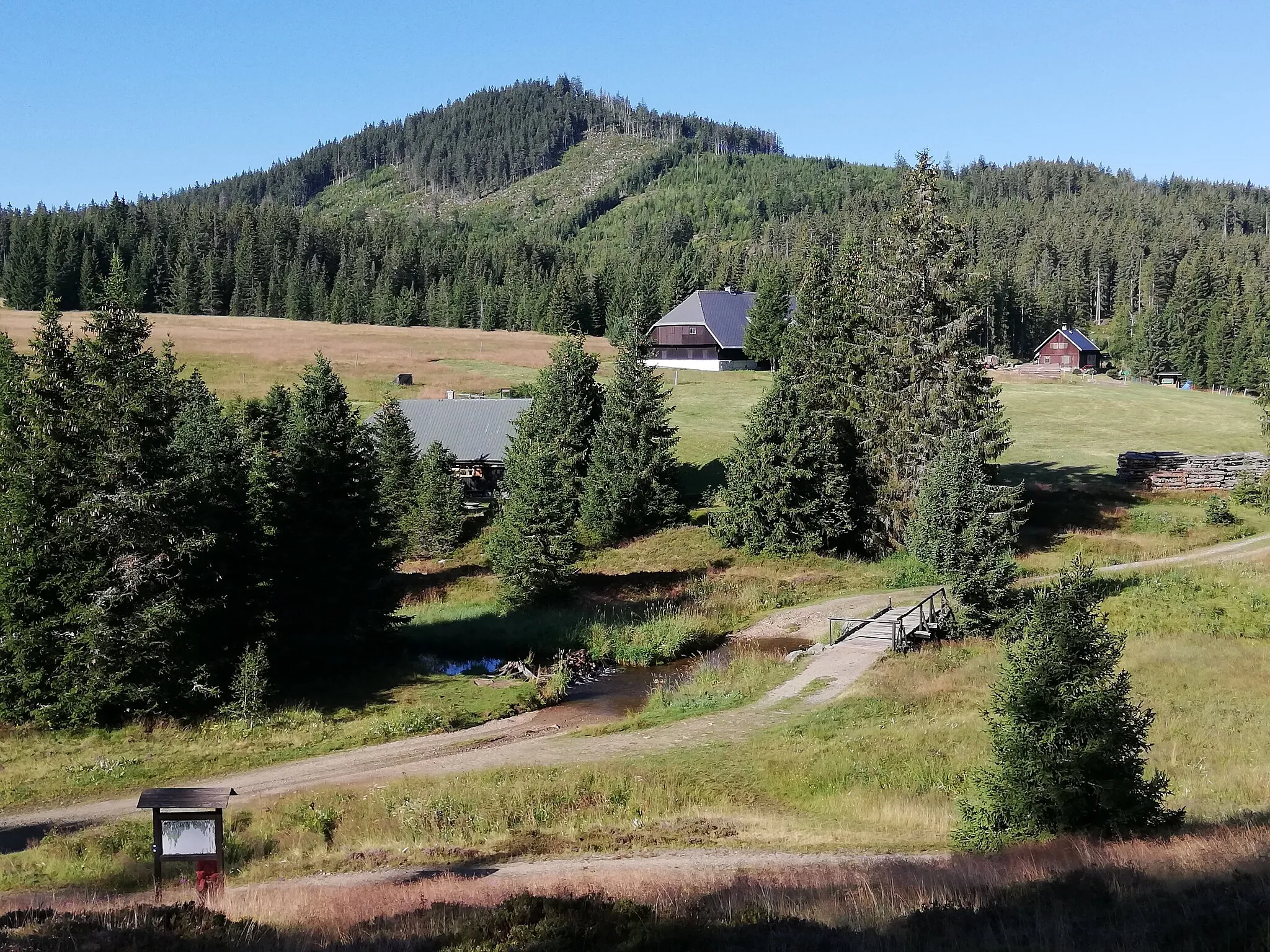
Pepík790 mPeakPepík is a scenic viewpoint that offers breathtaking panoramic views of the surrounding forests and hills.
82 km
82 km
Hamižná853 mPeakHamižná is a small hamlet with stunning vistas and a peaceful atmosphere, perfect for a rest stop.
82 km
82 km
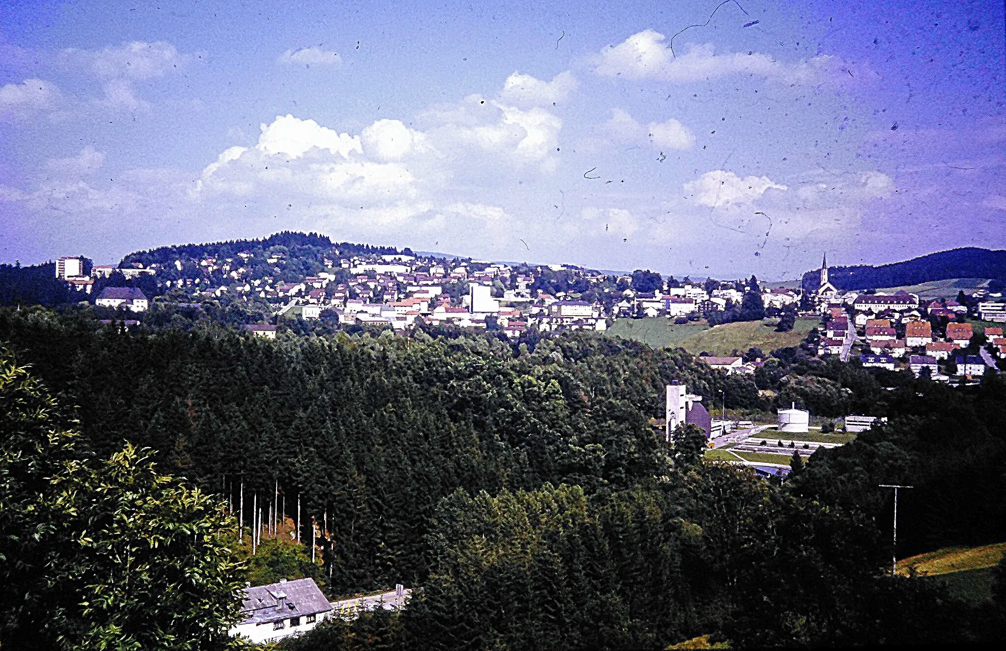
HartmaniceTownHartmanice is a quaint town with traditional architecture and beautiful views of the surrounding Bavarian countryside.
93 km
93 km
Babylon747 mPeakBabylon is a peaceful village with a distinct charm and provides easy access to picturesque routes in the Bavarian Forest.
105 km
105 km
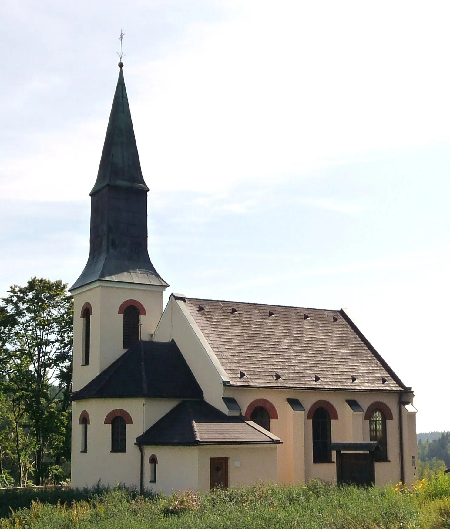
Horská KvildaVillageHorská Kvilda is a small mountain village known for its beautiful landscapes and warm hospitality, making it a must-visit highlight on this route.
118 km
118 km
Siebensteinkopf1263 mPeakSiebensteinkopf offers a challenging climb and rewards cyclists with breathtaking views at the top, creating a memorable experience.
128 km
128 km
Finish: Mauth Village centerMauth: Cycling through Bavarian landscapes and exploring the Bavarian Forest National Park.
Cycling routes nearby: